Indian Springs
Want a route with gravel, single track, and road... this is the one for you. This route starts at Dauset Trails Bike and Hike Trails. Here you'll find plenty of parking, porta potties, picnic tables, a stationary bike repair thingy, and an area for changing clothes.
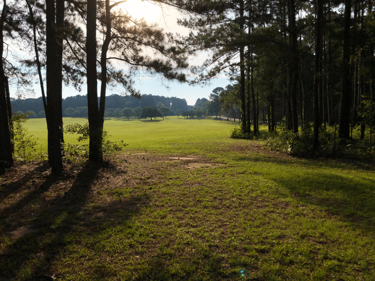
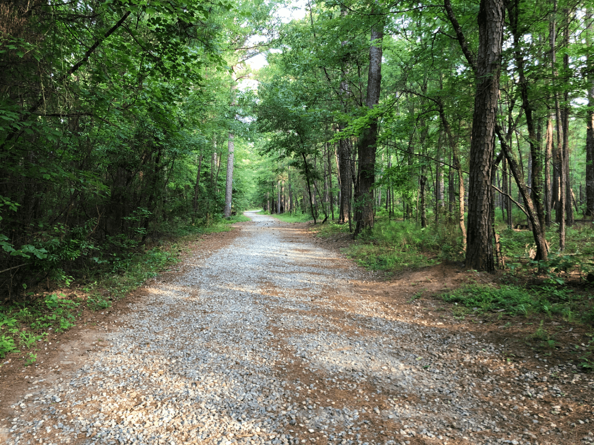
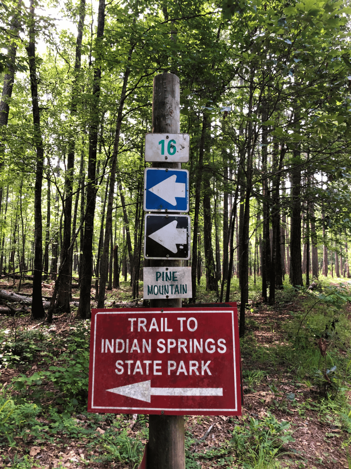
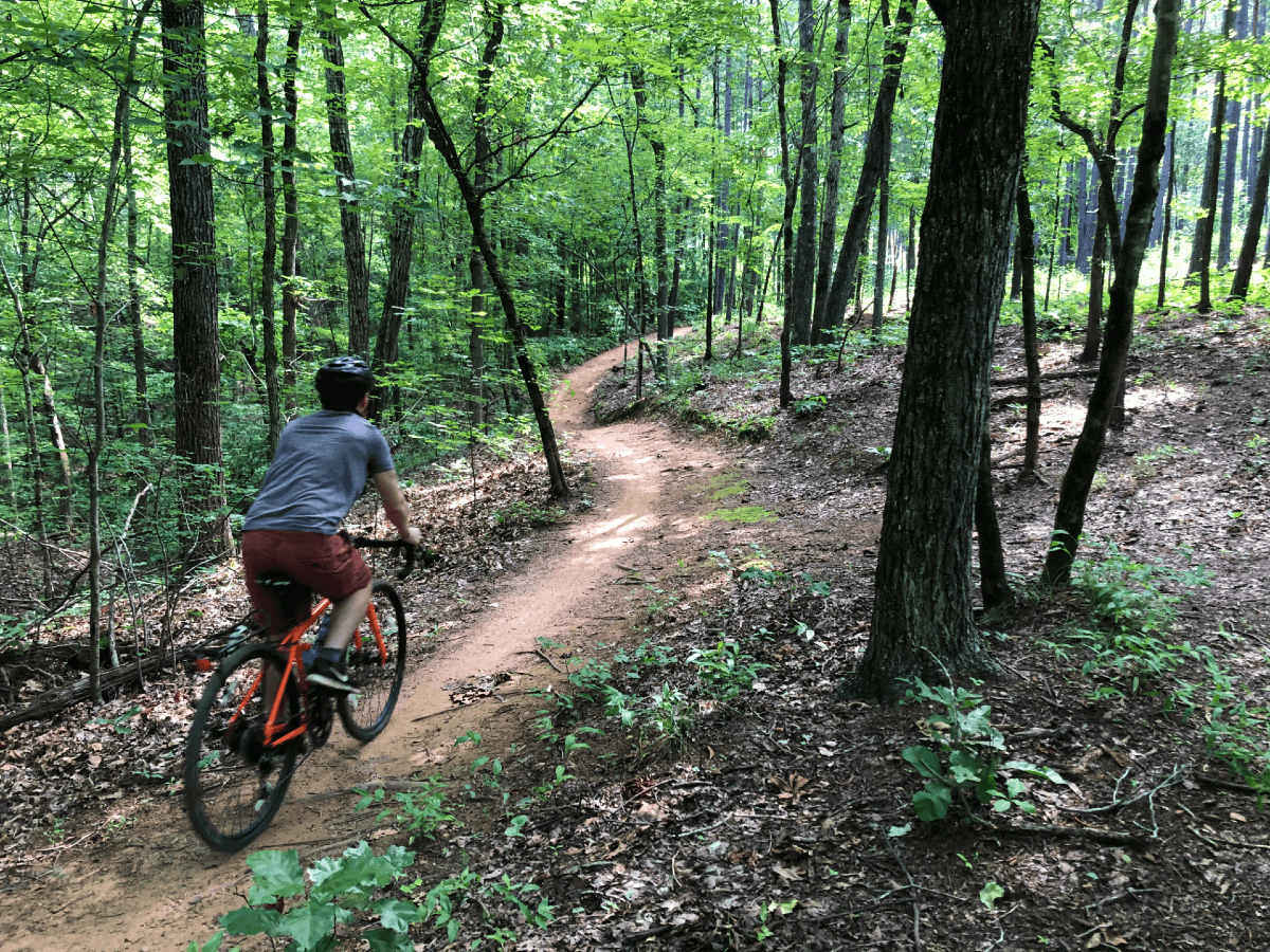
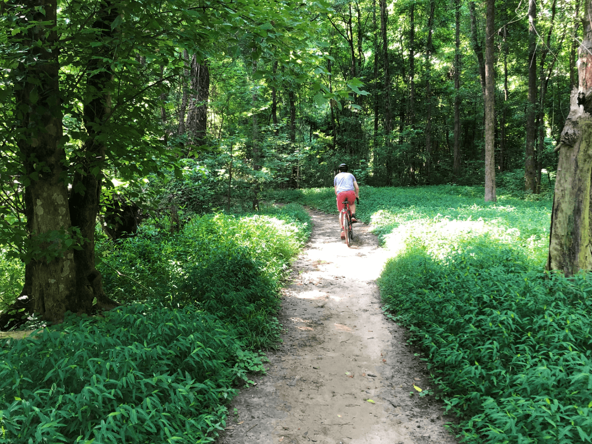
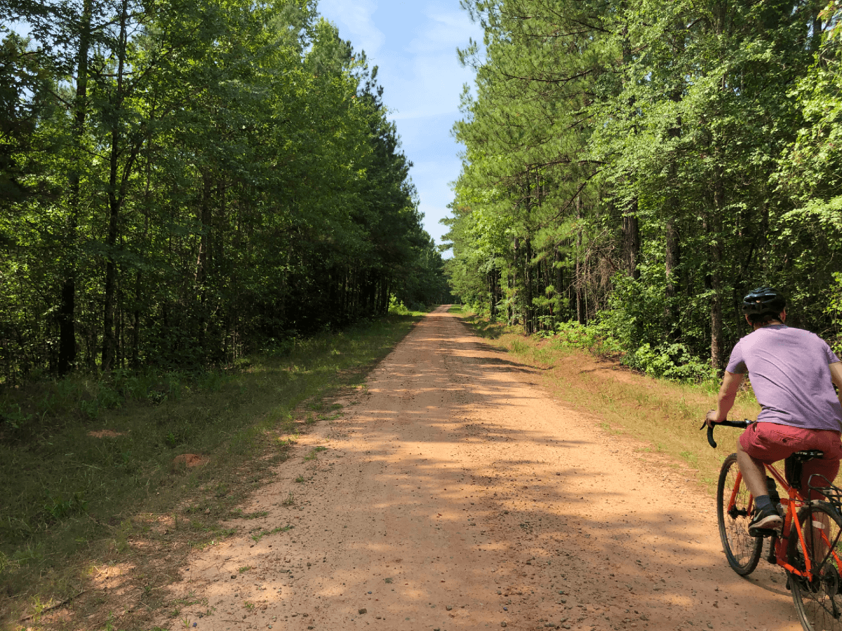
First thing up on this route is a chill gravel road that's gated. It'll lead you past several single track trail entrances and finally to the end of the Indian Springs Trail. This bit of single track is typically ridden as an out and back trail; one direction with more elevation gain and the other direction elevation loss. Luckily the direction this route has you going is down. This trail is just over 3 miles and is pretty flowy and non-technical for the most part. Don't sleep on it, though, roots and rocks could make for a flat tire or spill. For what it's worth, I rode this on a Surly Straggler with GravelKing SK 700x38c tires (not tubeless) and had no problems.
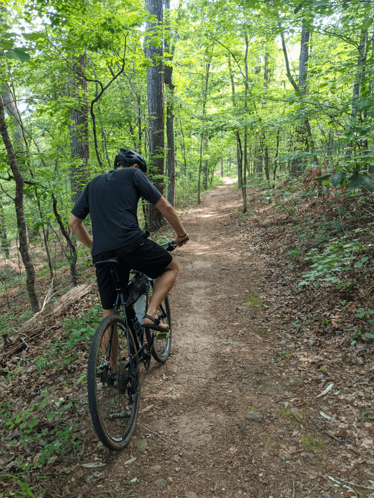
The thing I love about this route is the optional 16ish miles of single track at your disposal. Add it in however you see fit or come back one day on your mountain bike rig. It's got a back woods feel to it and I highly recommend figuring out how you can enjoy it.
When you exit the single track you'll end up in Indian Springs. There's a couple shops that might be handy. You'll cross over the road and make your way to the grand city of Flovilla. Just kidding, it's a tiny area. If you're already out of water or wishing you had packed a snack, there's a gas station or Dollar General.
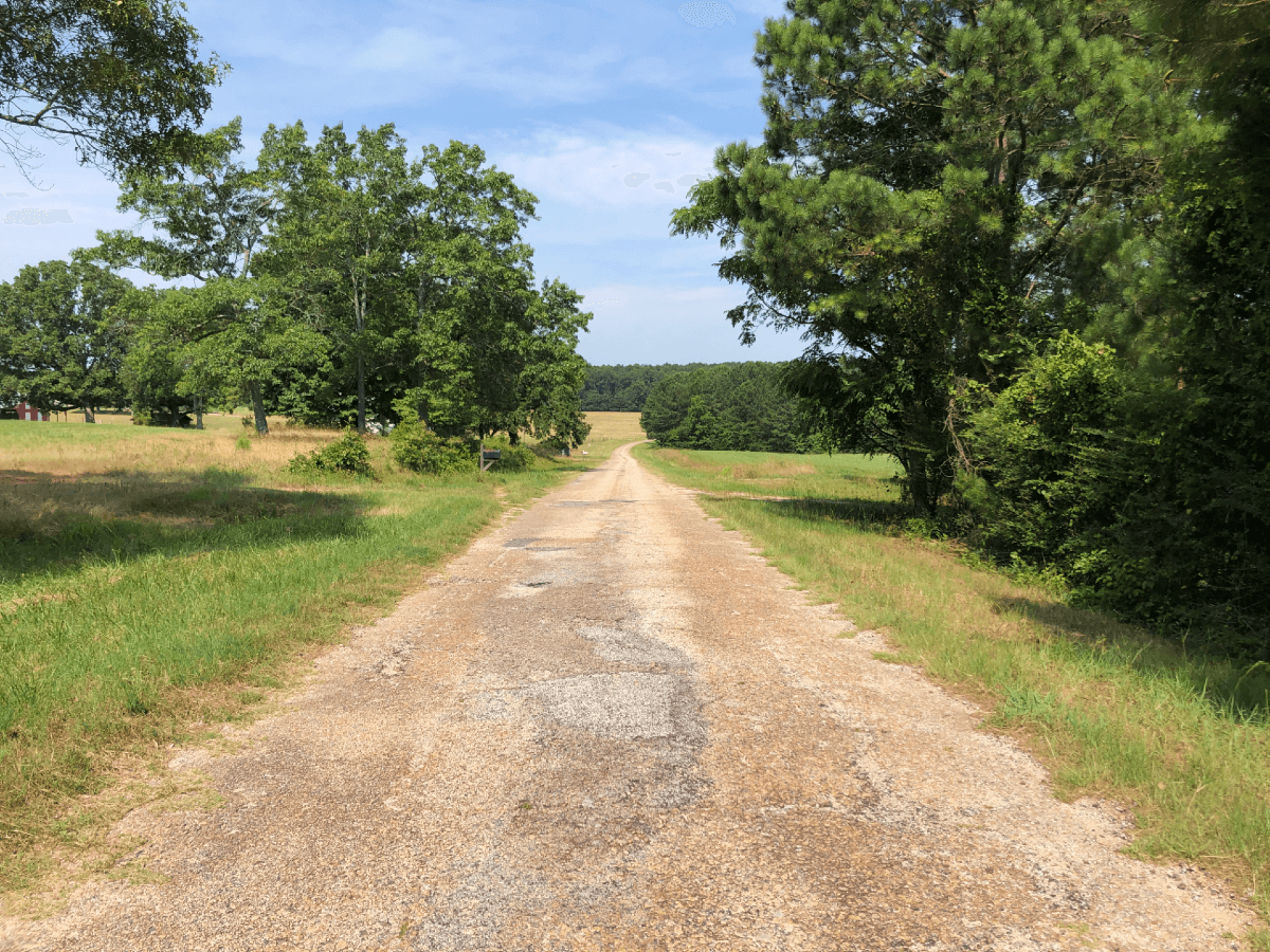
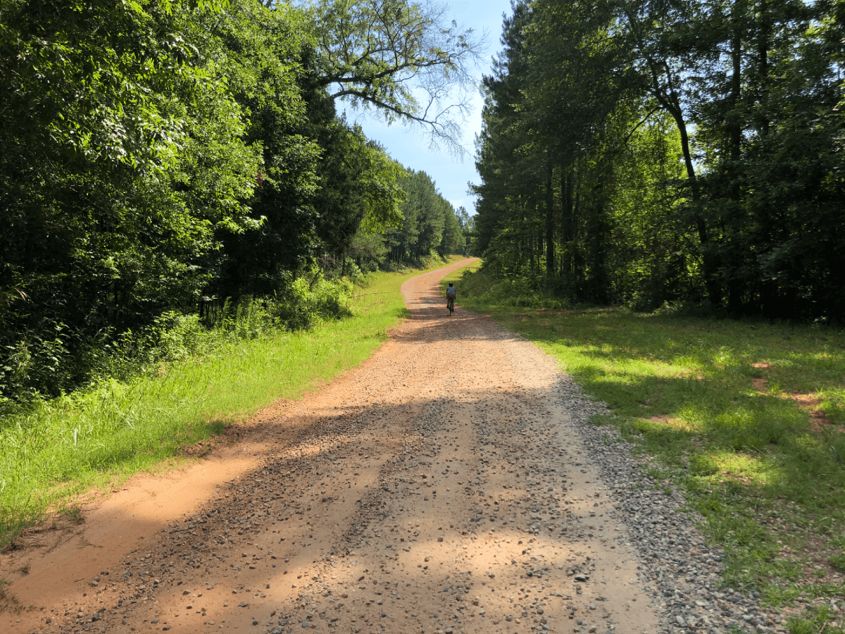
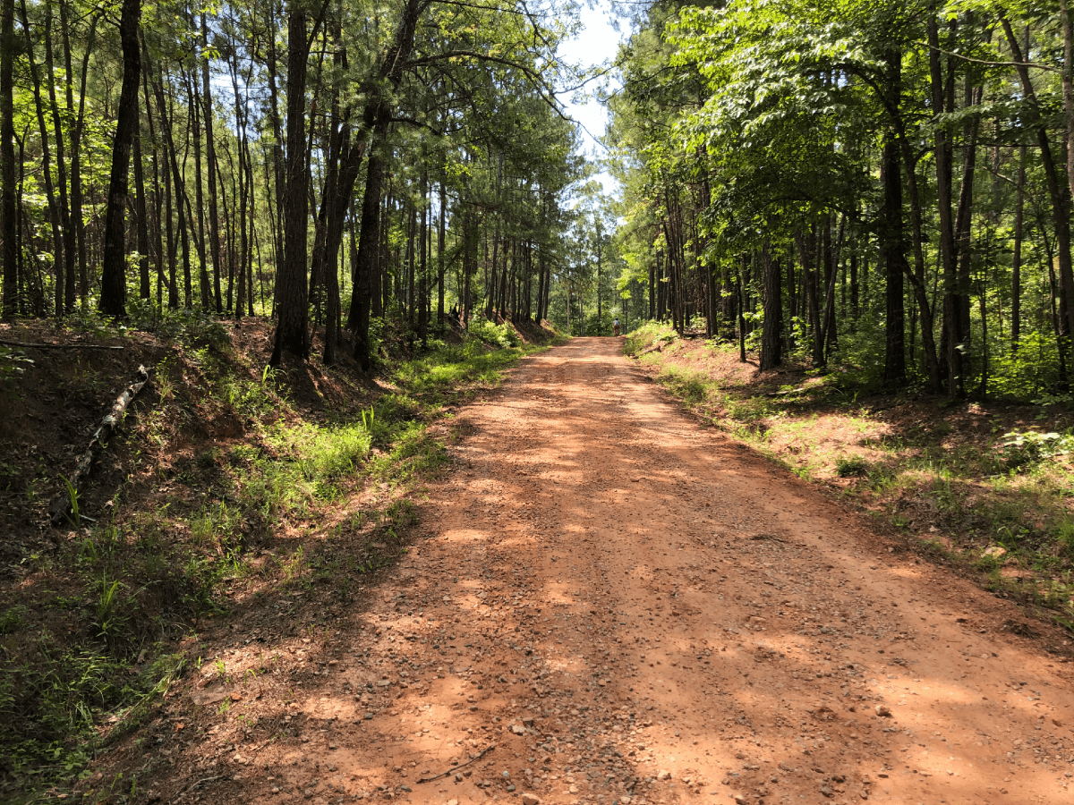
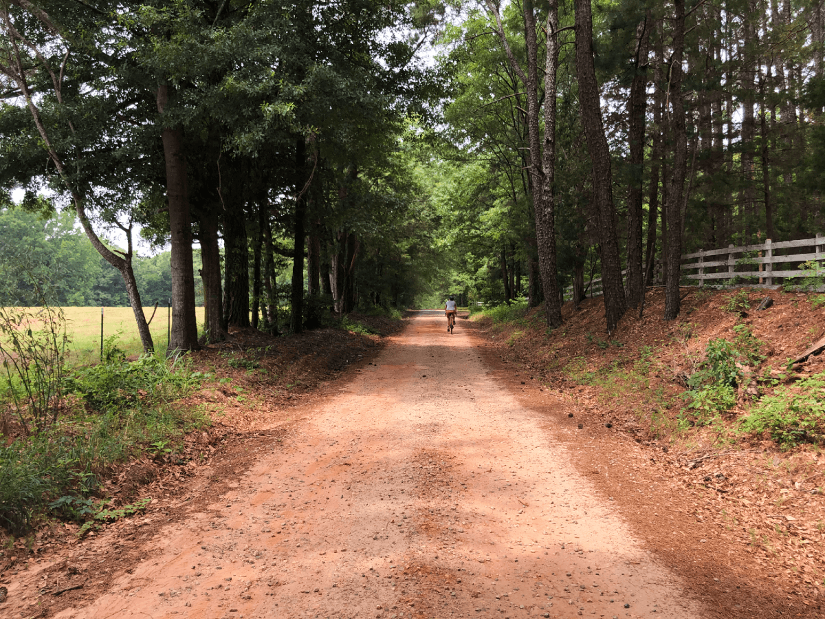
After passing through Flovilla, it's on to quiet paved roads and then about 3.5 miles of remote gravel; several deer jumped across at various points to remind you. This stretch of gravel is relatively chill, some spots shaded some not. Go during the heat of day in summer and you'll probably be cursing yourself. There's a bridge that crosses Little Sandy Creek at mile 12.5. We almost took a break to hop in the creek but decided to pedal on.
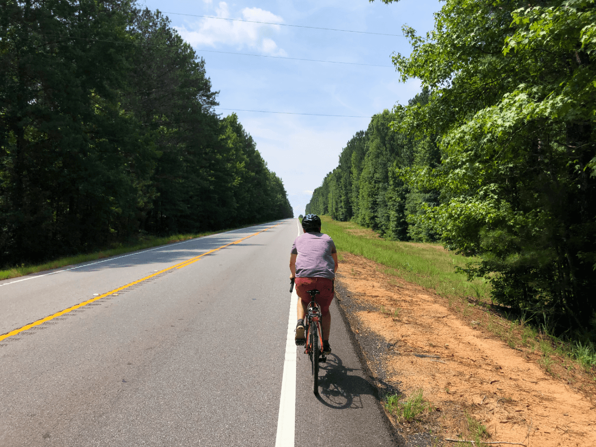
After you wrap up that section of gravel, you'll end up on Mt Pleasant Church Rd for a mile before taking a sharp left onto Welch Rd, a tiny 0.5 mile gravel road. This'll connect you to a two lane "highway" with cars traveling at 50-60 mph. I think three cars passed us, but it was enough to make us wish this 1.7 miles of the route wasn't a thing. It drops elevation at first, then you climb back out.
The original route didn't include this stretch, turns out the original route also deadended on the road that was suppose to connect to Lassiter Rd. The good news is Jen Colestock checked out the route the day before and reported back on the flaws of the original route. Thanks, Jen!
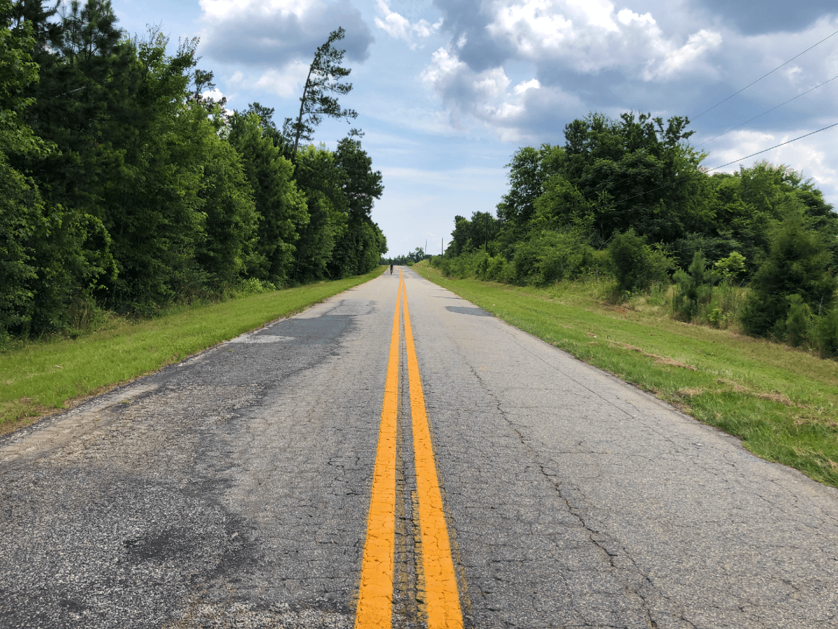
After you've made it on to Lassiter Rd, you've got some pretty chill pavement to grind through until you hit the last of the gravel and end up back at your car.
This area of Georgia has a ton of unpaved roads, so if this configuration doesn't do it for you... there's bound to be something that will. If I redid the Indian Springs route, I'd omit the "highway" part and Lassiter Rd, then loop back up through Flovilla and take Lake Clark Rd around Indian Springs State Park. This'll spit you out on Brownlee Rd, which has a back entrance to the Dauset Trails... where I'd polish the ride off with some single track. This configuration would leave you with close to 7 miles of singletrack, checkout the reroute if you're interested.