Hitchiti
Parking for this route is at the Hitchiti Experimental Forest Information Station. It's nothing special, in fact, it looks like a relic from the past and there's zero amenities.
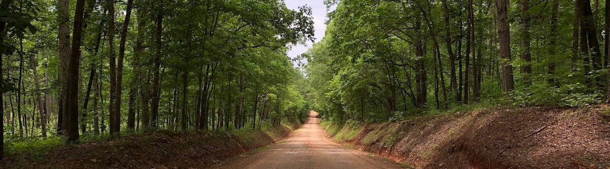
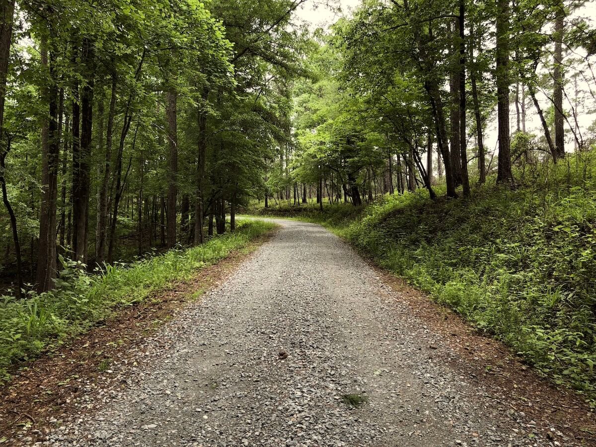
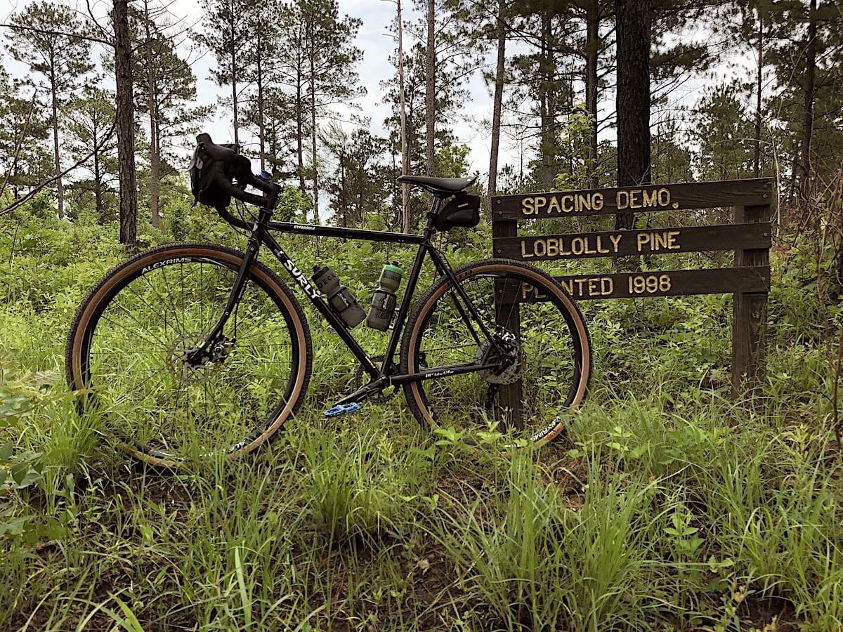
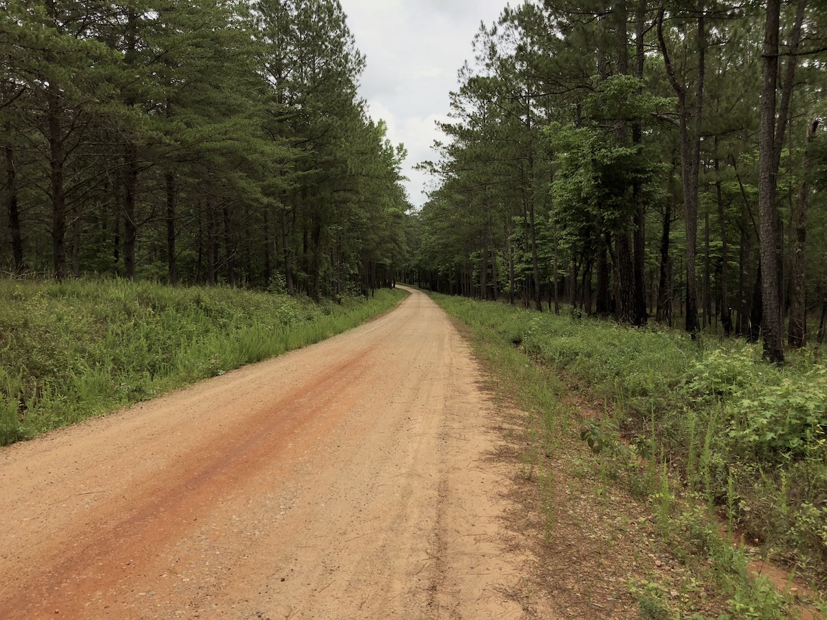
For the first 5 miles you'll roll over some teeth chattering gravel, hoping the rest isn't just as chunky. Luckily it's not, the rest is pretty smooth and ideal gravel, as far as I'm concerned. A large chunk of this route cuts through the Hitchiti Experimental Forest. Every now and then signage will pop-up that says what experiment was last run.
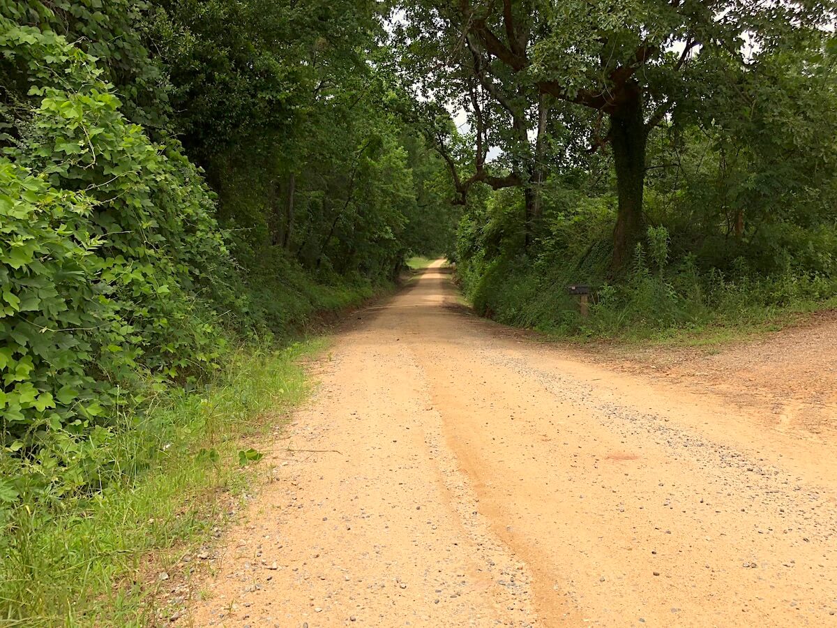
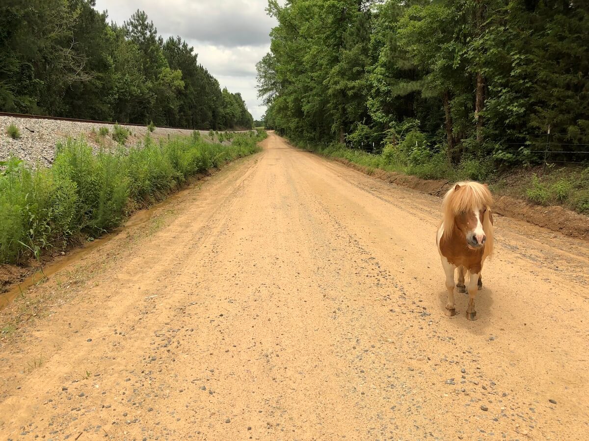
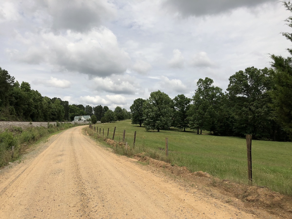
While the first 5 miles are pretty remote feeling, the next 15 will have you occasionally passing double wides, farm houses, and if you're lucky... a pony!
Miles 15-17 are amazing, super stright premium gravel with just enough downhill to carry you up the next slight hill and ready to bomb the next stretch. Next you'll head into Round Oak. At 21.5 miles in you'll throw your bike over your shoulder and jump across the railroad tracks to start on the final stretch. The final miles are filled with steep climbs and short descents, really testing your will to stay on the bike.